Brian and I glanced at each other nervously, then raised our binoculars back to our eyes and continued scanning the horizon. Nothing.
We had been dropped off in the middle of a vast black spruce bog in Wood Buffalo National Park. We were to have lunch while our helicopter pilot flew back to the fuel cache. But the refuelling trip should have taken a half hour at most, and it had been a good hour and a half with no sign of our ride. Luckily it was a lovely day, cool but sunny, with only a few mosquitoes (a godsend in those parts), so waiting wasn’t exactly a hardship… still, we didn’t particularly want to spend the night in a bog.
We were there to count Whooping Cranes, one of the world’s rarest birds. As luck would have it, these birds are also unusual in another regard: they are easily counted. As a wildlife biologist, much of my career was spent counting animals of one sort or another, and there is always one nagging question: how do you know if you found them all? There are many reasons that you may not have seen all the animals: they may be small, camouflaged, hidden under trees, underwater, or maybe they only come out at night. The word for this difficulty is sightability – in other words, what proportion of the animals did you see on your survey?
Sightability: it’s what counts!
The first, and easiest, case is when you are reasonably certain that you actually saw all the animals – sightability is 100 percent! As you can imagine, this almost never happens, but just think of those Whooping Cranes. They are enormous (five feet tall), bright white birds that nest on vegetation in the middle of ponds. So if you fly in a systematic grid over the nesting area you can be pretty certain you found all the nesting birds—no need to estimate sightability. This really only works with scarce, highly visible animals that you are certain will be in an area small enough to search. Also, even when you think sightability is 100 percent, you’re usually only seeing some of the population. In the Whooping Crane example, only the nesting birds will be counted. Luckily, nesting birds are the most important ones!
Over the edge
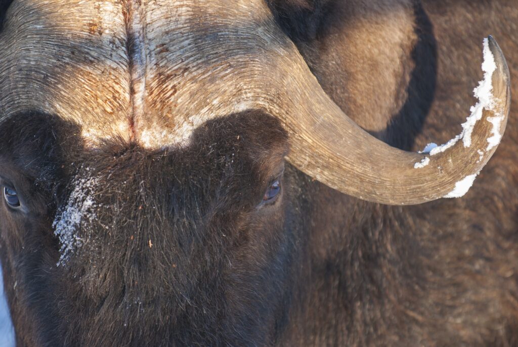
The second situation is when the animals you are counting are still standing around out in the open (i.e. no trees), but are distributed over such a large area that you can’t possibly search the whole place. One way to deal with this problem is the use of “transects”—in other words, fly across your study area in straight lines and count every animal you see within 100 metres (for example). Then, if the transects cover 10 percent of the study area, you multiply the number you saw by 10 to come up with the total. Of course you have to be sure that you saw all the animals within your transect—the transect must be narrow enough to see across, and tree cover must be close to zero. We often used this technique for counting muskoxen above treeline in the Northwest Territories.
A big issue with transect surveys, however, is what’s called “edge effect.” You might intend to cover 100m-wide transects, but it’s not always easy to tell 99 metres from 101 metres. Do you include that edge animal in your count, or not? Also, highly-mobile animals can run in and out of your transect; the narrower your transect, the more often this happens. In many cases, this edge effect can be overwhelming – you have so many animals on the edge, or running back and forth, that the whole thing becomes impractical.
Double trouble
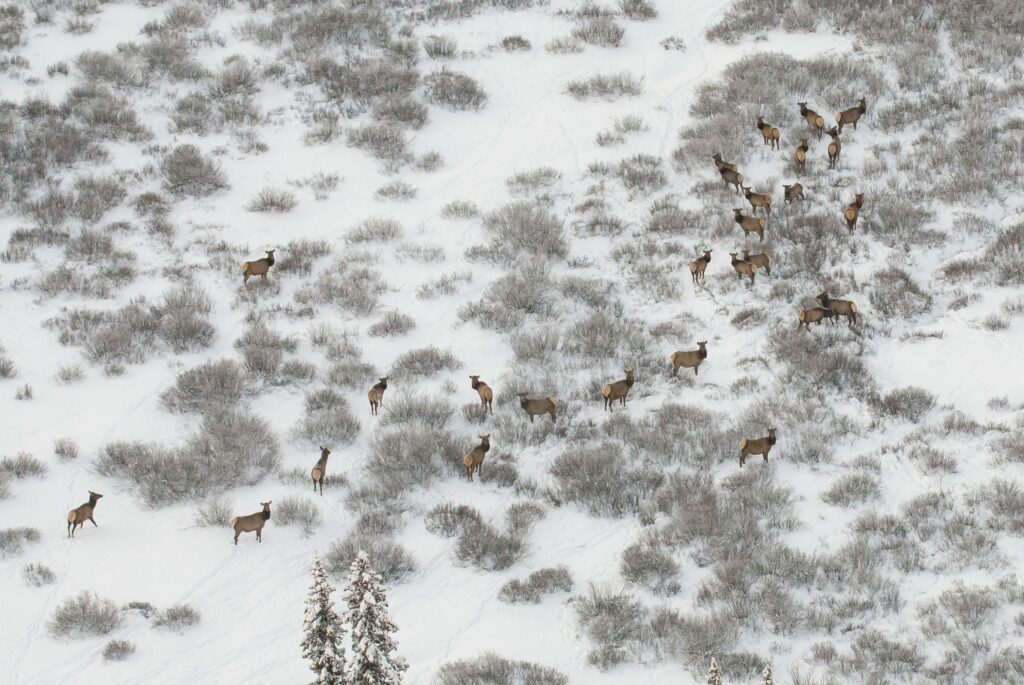
Another issue with transects is that mobile animals may run from one transect to another and be double counted. Issues like these have meant that simple transect surveys are not really fashionable anymore. One way around the edge issue is to change the long thin transects into square search ‘blocks’. With blocks there is less edge per unit area, so there are fewer ‘in/out’ decisions to make, and less chance of animals running back and forth. Elk surveys in Jasper are done via block searches.
Elk, moose, and caribou surveys actually represent a third situation, where even the animals within your search blocks can’t all be seen—they may be behind trees, for example. Jasper has a lot of trees, so you need to correct for hidden animals.
The mark of a good scientist
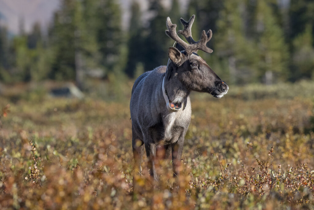
One way to do this is with marked animals. Marked animals are ones that you’ve previously captured and marked in some way. Radio collars are popular marks. Let’s say you know there are 10 collared animals in your search area, but on the survey you only saw five of them. Since you only saw half the marked animals, you multiply your count by two to come up with the total number of animals—in other words, the population estimate. For many years, radio-collars were the marks for Jasper’s aerial caribou surveys. We would search alpine caribou habitat in October when most (but not all) caribou are above treeline and easily seen, and then use the proportion of collars seen to estimate population size.
DNA is the way
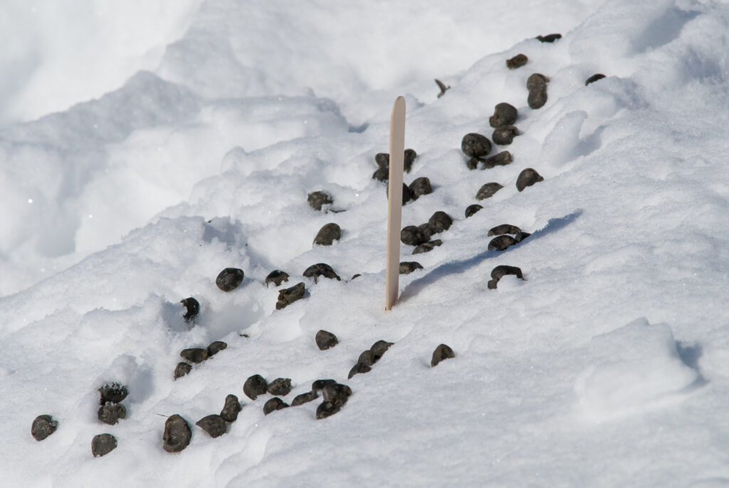
Catching and collaring animals however, poses something of a risk. For one, they could be injured during the capture process. So when the technology became available, caribou scientists turned to a completely new marking method: genetics. It turns out that caribou leave a thin layer of mucous around the fecal pellet (or scat) that they conveniently drop on the ground for us. This mucous contains DNA which you can genotype (identify to individual) to mark animals, just as if you had captured and collared them. Since caribou often forage above treeline during the rut, biologists can fly by helicopter around the alpine and look for places where the caribou have scraped the snow away in their search for lichens. These craters, as we call them, stand out like sore thumbs from the air, and we can land beside them and bag up the caribou scat.
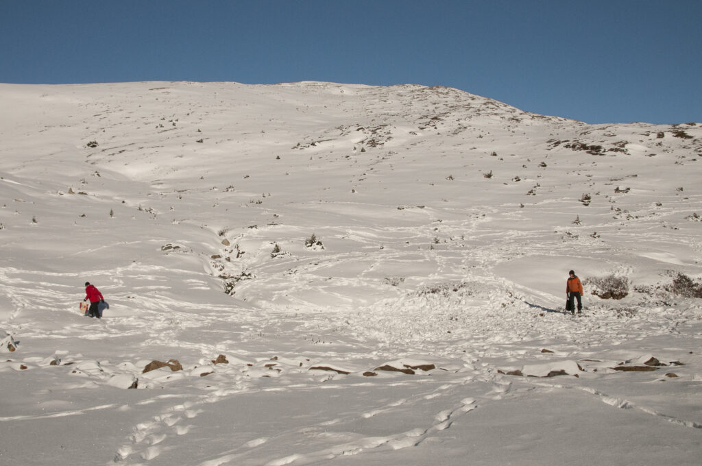
An initial survey provides the marks (individual genotypes). During the second survey, researchers will pick up scat from caribou identified on the initial survey, plus some new ones. The ratio of new scat to old provides the team with sightability—now we have an estimate of caribou numbers. Even better, no caribou are hassled! Another bonus is that the caribou don’t even have to be there when the researchers do their fly over—the scat can be harvested up to 48 hours later.
Hair-raising research
Most animals aren’t as accommodating as the caribou. Most don’t leave their scat behind in convenient piles right out in the open. Bears for example, are solitary, travel long distances and rarely leave their scat where a helicopter can land. This makes bears very difficult to track down! So for Jasper’s bear population estimates we went after another source of DNA—hair—and used lures to bring the bears to hair traps.
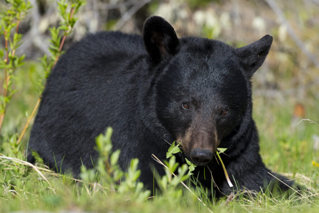
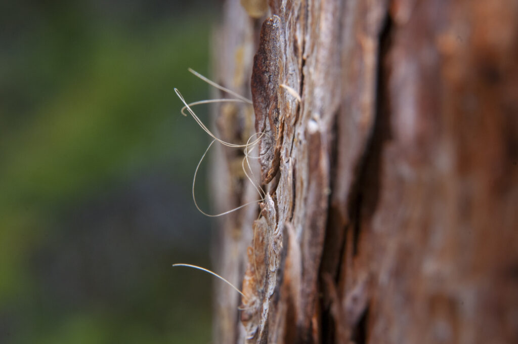
To do this, a bunch of brush is piled up, then soaked with rotten blood and canola oil. The horrible stench tempts bears to investigate. Next, a strand of barbed wire is strung up around the lure. Bears have to step over the wire to get at the lure, and in the process, leave some of their hair behind. The follicles of the hair contain DNA, and just like the caribou scat, we genotype the samples to identify individuals. These traps are laid out in a grid, and then checked every so often. Bears will also rub their backs on conifer tree trunks, providing a second source of hair. When we have several of these hair surveys, we can then calculate sightability, and come up with the total number of bears. Jasper partnered with fRI Research out of Hinton on the bear hair project.
The methods I’ve gone through here are really just the tip of the iceberg – there are many other techniques for coming up with population estimates (distance sampling and remote cameras are other examples), and I haven’t even mentioned the boatload of statistical methods that people have come up with to analyze the data. All of these techniques are important, because, as I mentioned at the beginning, you almost never get situations like those Whooping Crane surveys, where all the animals you need to count are right there in front of you.
Bogged down
Back in the bog, after many increasingly-nervous minutes scanning the skies for our wayward helicopter, we eventually spotted it. It was five kilometres away, flying back and forth at low level—our pilot evidently didn’t know where we were and was searching for us!
Brian took an emergency signalling mirror out his pack and attempted to reflect a beam of sunlight so the pilot could see us. I thought that at our distance, this was an optimistic strategy, but sure enough, after only about five minutes, the helicopter abruptly spun around and headed straight for us. After he landed, he complained that his GPS unit wouldn’t tell him where we were. This was years ago, in the dawn of the GPS era, and it became apparent that this pilot had no idea how to operate his hand-held GPS unit. We tactfully suggested that next time he should record our location, then navigate back to us. As we were packing up, we could see him feverishly paging through the unit’s instruction book.
It turns out that sightability of the animals isn’t the only concern when planning wildlife surveys!
Mark Bradley // info@thejasperlocal.com


